

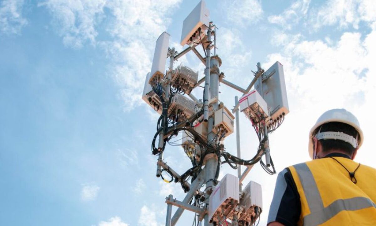
Mobile Network Technology
Mobile network technology has progressed swiftly in the last ten years, making the presence of 3G, 4G, and 5G coverage a crucial element of contemporary communication, economic growth, and digital inclusion. A coverage map serves as one of the key resources for comprehending the availability of these networks, the strength of their signals, and the type of connectivity that users can anticipate in specific areas. These maps are generated through a mix of cell tower information, signal assessments, crowd-sourced input, and satellite mapping technologies. They assist consumers, businesses, and government entities in making well-informed choices about network utilization, device selection, and infrastructure development.
A 3G coverage map generally indicates the basic availability of mobile internet, facilitating essential data services such as web browsing, email, social networking, and standard-definition video streaming. While 3G is considered older technology, it remains operational in numerous rural, remote, and low-density areas where newer technologies are still being deployed. The strength of 3G signals can vary significantly based on the density of towers, proximity to urban areas, and geographical obstacles such as hills, forests, or large structures. Many nations are gradually retiring 3G as part of their modernization initiatives, yet these maps continue to hold significance for users who depend on older devices or reside in regions with limited connectivity.
A 4G coverage map offers a more detailed view of high-speed mobile internet. In comparison to 3G, 4G provides much faster browsing, smoother video streaming, improved voice-over-LTE calling, and greater stability during peak usage times. Most contemporary smartphones are engineered to perform optimally on 4G networks, making coverage maps essential for daily users. These maps indicate where signals are strong enough to facilitate high-speed activities and help pinpoint weak areas where data speeds might decline. 4G networks span a large portion of urban and semi-urban regions, and in many areas, they reach well into rural locations. However, even in covered regions, users may face fluctuations in speed due to tower congestion, environmental factors, or physical barriers. This is why coverage maps often feature color-coded indicators of signal strength.
Related Posts
A 5G coverage map represents the pinnacle of mobile connectivity visualization. The rollout of 5G technology is progressing rapidly, but it is not yet universally accessible. Unlike earlier generations, 5G operates on various frequency bands, each with distinct performance traits. High-band 5G offers incredibly fast speeds but is limited to small coverage areas and has poor penetration through walls. Mid-band 5G strikes a balance between speed and coverage, while low-band 5G ensures extensive coverage with moderate enhancements over 4G. Coverage maps help users comprehend which type of 5G is present in their area and what level of performance they can realistically anticipate. They are particularly vital for sectors that depend on advanced connectivity, such as smart devices, autonomous systems, high-definition streaming, and business operations requiring low-latency networks.
Coverage maps are crucial for infrastructure development. Telecom companies utilize them to pinpoint underserved areas and strategize new tower placements. Government bodies depend on these maps to track digital inclusion and enforce connectivity policies. Consumers refer to these maps to select the most suitable service provider based on local availability. Travelers and remote workers rely on precise maps to guarantee connectivity in new environments. Furthermore, crowd-sourced data, where users’ devices automatically gauge signal strength and submit it anonymously, contributes to the accuracy of these maps and reflects actual network performance.
Website Link
Environmental elements and population density greatly affect coverage quality. Geographic features like mountains, valleys, and densely populated urban areas can interfere with signals, resulting in weak zones even in well-served cities. This underscores the importance of coverage maps in setting realistic expectations and assisting users in identifying regions prone to connectivity challenges. In a progressively digital era, 3G, 4G, and 5G coverage maps act as essential instruments for comprehending and navigating the mobile network environment. They facilitate more informed decision-making and help connect technology providers with the communities that depend on them for everyday communication, work, education, and entertainment.


")


")

")
")


 Scheme Online")


")


")

 Scheme Online")

