

Google Earth
Google Earth is an advanced digital mapping and exploration tool created by Google, enabling users to view and engage with a comprehensive, three-dimensional model of the Earth. It integrates satellite imagery, aerial photography, and geographic information to form a virtual globe that can be explored from a computer, smartphone, or web browser. Since its inception, Google Earth has gained popularity among travelers, students, researchers, educators, and inquisitive individuals eager to discover more about the world from the comfort of their homes.
One of the standout features of Google Earth is its high-resolution satellite imagery. Users can zoom in from a global perspective down to street-level details in numerous locations worldwide. This capability allows for the exploration of iconic landmarks, cities, mountains, rivers, and even secluded villages. In metropolitan areas, the imagery is often sufficiently detailed to depict buildings, parks, roads, and other infrastructure clearly. This degree of detail aids users in comprehending the layout and geography of locations in a manner that traditional maps cannot fully convey.
Additionally, Google Earth provides a 3D view for various cities and landmarks. In these regions, buildings and terrain are displayed in three dimensions, enabling users to tilt and rotate the view for a more authentic perspective. This feature is particularly beneficial for visualizing cityscapes, planning travel routes, or simply enjoying a virtual tour of renowned destinations such as New York, Paris, Dubai, or the Himalayas. The 3D terrain option also enhances the appearance of mountains, valleys, and coastlines, adding depth to the overall experience.
Related Posts
Another significant aspect of Google Earth is its historical imagery feature. This enables users to access satellite images of the same area captured at various times. By utilizing a timeline slider, users can observe the growth of cities, changes in forests, shifts in coastlines, or the evolution of infrastructure projects over the years. This functionality is especially beneficial for researchers, urban planners, environmentalists, and students focused on geography, climate change, or urban development.
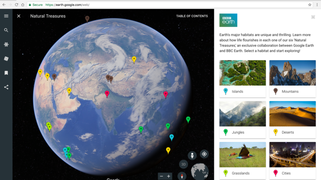
Google Earth offers a diverse array of informational layers that provide additional context to the map. Users can activate layers for borders, roads, place names, photos, weather, and more. There are also specialized layers for subjects such as education, science, and culture, which showcase natural wonders, historical landmarks, and significant global sites. These layers elevate Google Earth from a mere mapping tool to an interactive educational platform that delivers insights into both natural and human-made features of our planet.
The tool is also extensively utilized for travel planning. Travelers can investigate destinations prior to their visits, explore hotels and attractions, and gain an understanding of the surrounding environment. By leveraging Street View integration, users can virtually stroll along streets, view storefronts, and see what neighborhoods look like in reality. This enhances travelers’ confidence in their plans and aids them in making informed decisions about accommodations and places to visit.
Google Earth is an invaluable tool for education and research. Educators utilize it to develop interactive lessons in subjects like geography, history, and environmental science. Students have the opportunity to explore various countries, examine landforms, and visualize global trends in a manner that is significantly more engaging than traditional textbook reading. Researchers and professionals leverage Google Earth for activities such as site analysis, environmental monitoring, disaster evaluation, and urban planning. Its features for measuring distances, calculating areas, and marking locations render it a practical resource for both academic and real-world applications.
Additionally, Google Earth encourages user-generated content. Users can create placemarks, draw paths, and design custom maps to emphasize particular locations or routes. These personalized projects can be saved and shared, facilitating collaboration or the presentation of geographic information in a visual format. The platform also permits users to import data files, including GPS tracks or geographic datasets, for more sophisticated mapping endeavors.
Another advantage of Google Earth is its accessibility. It is compatible with various platforms, such as Windows, macOS, Android, iOS, and web browsers. This ensures that users can explore the globe from nearly any device with internet access. The interface is crafted to be user-friendly, featuring straightforward controls for zooming, rotating, and searching for locations. Even those using it for the first time can swiftly learn to navigate and utilize its features effectively.
In summary, Google Earth transcends being merely a digital map; it serves as a portal to the world. Its blend of high-quality imagery, 3D visualization, historical data, and interactive elements makes it a multifaceted tool for exploration, education, and practical application. Whether you aim to plan a journey, study geography, investigate environmental changes, or simply quench your curiosity about far-off places, Google Earth provides an engaging and informative experience that brings the planet closer to your fingertips.

 Scheme Online")


")


")

 Scheme Online")

