Tamil Nilam – GI Viewer
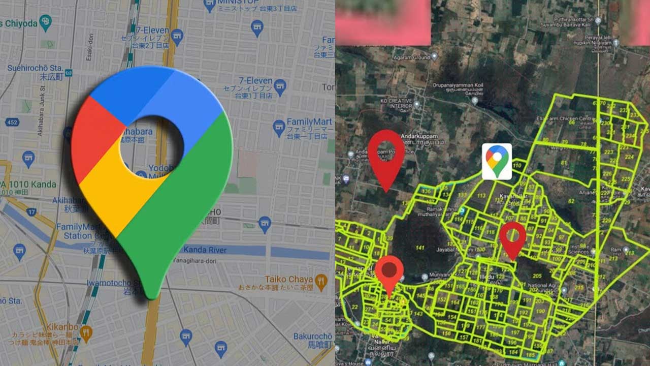
The Tamil Nadu Government has rolled out a bunch of digital initiatives aimed at enhancing governance and boosting transparency in public services. A key digital tool for land management is the Tamil Nilam – GI Viewer. This platform is part of the Tamil Nadu Information on Land Administration and Management project, which aims to make land records easily accessible online. It allows both citizens and officials to view, verify, and analyze land-related information using Geographic Information System (GIS) technology.
The GI Viewer is basically a web-based tool that visually represents land records through a digital map. Unlike the old-school method where land records were kept manually in registers or on paper maps, this viewer provides digitized, accurate, and current information. Now, citizens can check survey numbers, land ownership details, and classifications without needing to physically go to revenue offices. This not only saves time but also cuts down on reliance on middlemen, ensuring a high level of transparency in managing records.
The system is packed with features that make it super user-friendly and efficient. One standout feature is the survey number search, which lets users enter a specific survey number and quickly find the related land parcel on the map. Plus, the platform shows ownership details, including the landholder’s name, the size of the land, and the type of holding. Another crucial function is land classification, which helps users determine if a piece of land is agricultural, residential, commercial, or designated for government use.

Interactive map features enhance the platform’s practicality for real-life applications. Users can zoom in or out to see boundaries, roads, water bodies, and nearby survey fields. This allows farmers to check their cultivation areas, buyers to verify property details before making a purchase, and officials to settle disputes by comparing official records with actual boundaries. With all records digitized, the risk of tampering is significantly lowered, helping to minimize disputes over land ownership or extent.
WebLink
For everyday citizens, the GI Viewer serves as a crucial tool that protects their land rights. Farmers can verify the classification of their lands to ensure that the records align with their actual usage. Land buyers can check details before committing financially, which helps reduce the risk of fraud. Legal disputes regarding boundary issues can be resolved more effectively, as the map-based evidence offers clarity for everyone involved.
Government officials also gain significant advantages from this system. The Revenue Department, Agricultural Department, and other planning agencies can utilize the GI Viewer to assess land distribution and oversee development projects. It aids in identifying government lands, tracking encroachments, and planning irrigation systems or infrastructure initiatives. By linking the system with the Tamil Nilam database, the government guarantees that record updates are reflected in real time, enhancing the service’s reliability.


